Map Helgoland
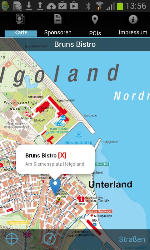
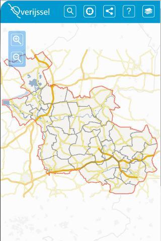
The HELGOLAND city map app offers you the current and officially coordinated map material of the city of Helgoland with many additional information.
Over 50 years of experience in the conception of urban cartography form the basis for a city map, the content and design of which is optimally adapted to the use with mobile devices.
A compact design without unnecessary functions makes the data volume small enough for download without WLAN access.
The Stadtplan Helgoland is intended to use offline. After installation, the app can be used regardless of access to mobile data networks and is therefore completely free of charge.
From overview to the last detail: fast, liquid, stepless moving and zooming without loading times; All card data are always ready.
Easily switchable: your own location determination via GPS signal with a position display within the card.
Contains the street search with completion and proposal function
Card in compass or north arrow presentation to choose from
The sights of the city of Helgoland are explained in words and pictures, of course with a precise note in cartography and contact options by finger tip.
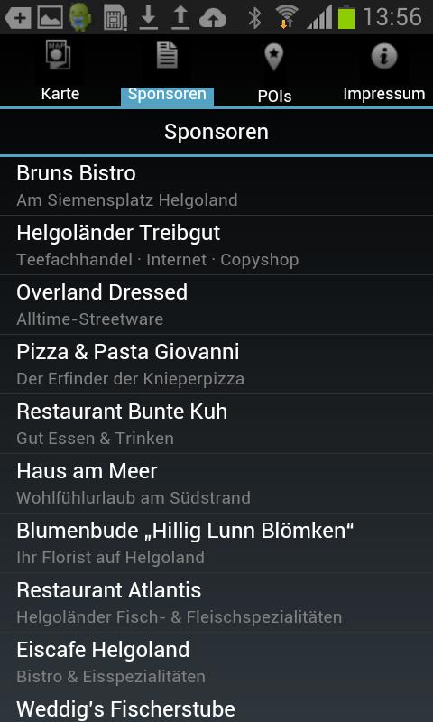
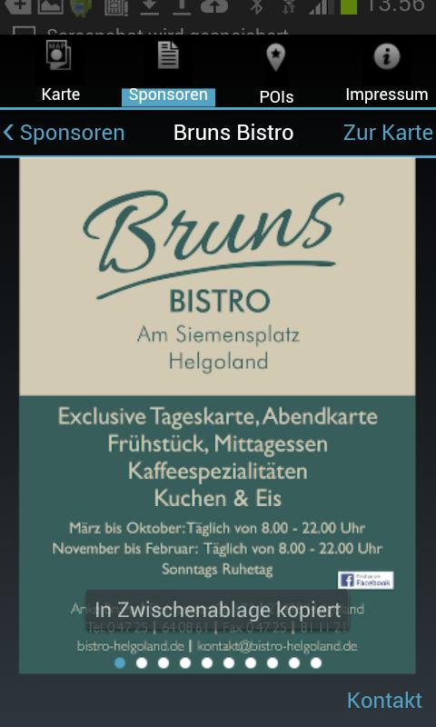
Representation of the advertising sponsors with location on the map and all contact information.
Securing data protection and privacy: no access to saved information in the end device, no storage or transfer of your location and movement data.
